25.05.2024 07:15
2726
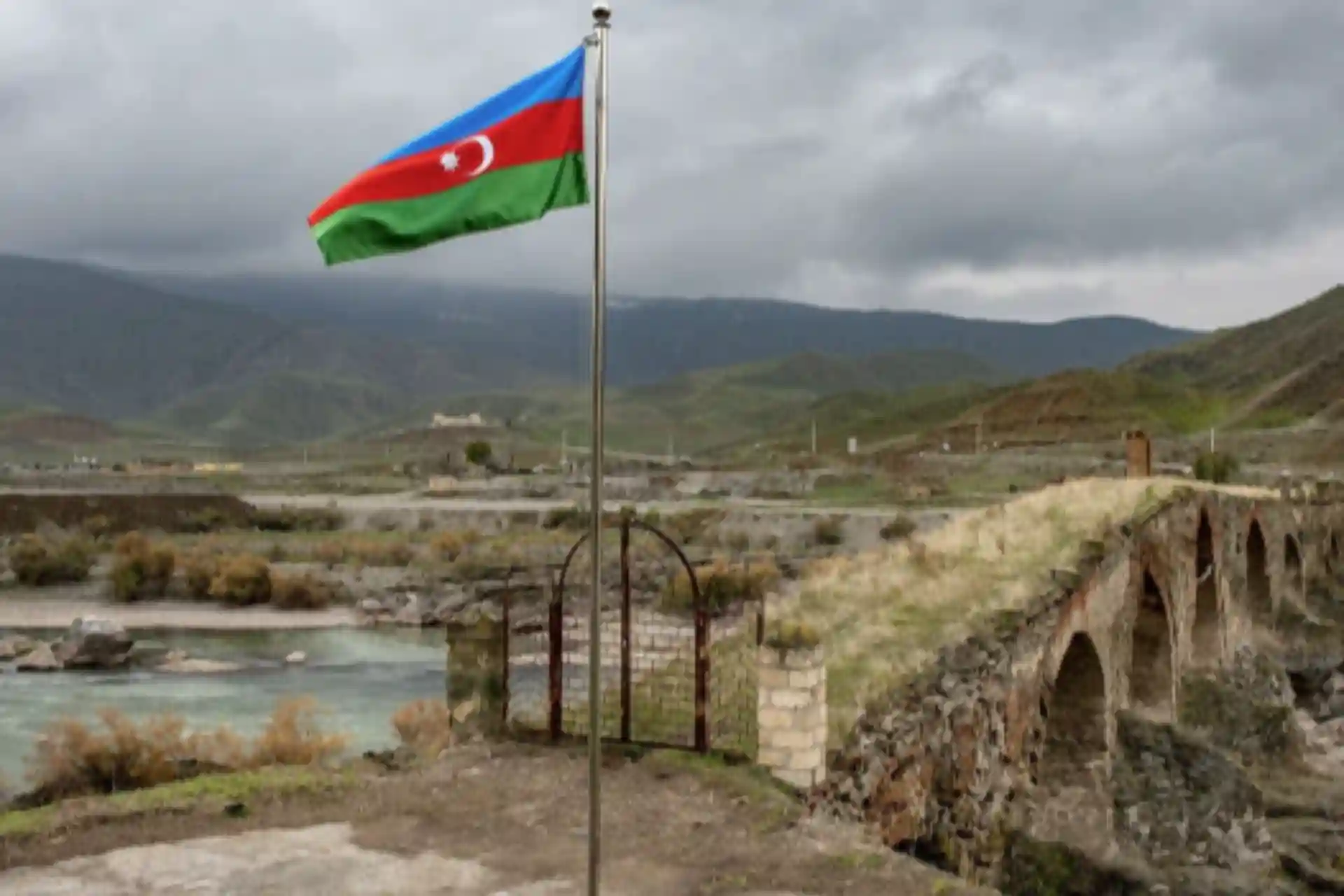
Baku and Yerevan marked a border of almost 13 km
For the first time, an agreement was reached on the delimitation of a specific section of the border. International observers have noted that significant progress has been made in the negotiations between the two countries. "This ensures the return of 4 villages of the Gazakh region of the Republic of Azerbaijan - Baganis Ayrim, Ashagi Askipara, Kheyrimli and Kyzilgajili (6.5 square kilometers) to Azerbaijan," the report says.
As a result of the delimitation work between Azerbaijan and Armenia, the 12.7-kilometer long border line was finally determined, said the press service of the Deputy Prime Minister of Azerbaijan, Shahin Mustafoyev.
Last week, Baku and Yerevan signed a joint protocol delineating sections of the border line between settlements in Armenia's Tavush region and Azerbaijan's Gazakh region. The 9th meeting of border demarcation commissions was held on the border of the two countries under the chairmanship of Deputy Prime Minister of Azerbaijan Shahin Mustafoyev and Deputy Prime Minister of Armenia Mher Grigoryan.
"This ensures the return of 4 villages of the Gazakh region of the Republic of Azerbaijan - Baganis Ayrim, Ashagi Askipara, Kheyrimli and Kyzilgajili (6.5 square kilometers) to Azerbaijan," the report says.
It was also noted that today the territories of the villages of Baganis Ayrim, Ashagi Askipara, Kheyrimli and Kyzylgajili of the Gazakh region of the Republic of Azerbaijan are under the control of the State Border Service of the Republic of Azerbaijan.
In the written statement of the Azerbaijani side regarding the meeting, it was noted that the parties agreed to determine the coordinates of the border line of 4 villages belonging to the villages of Azerbaijan and Armenia according to the topographical map of the General Staff of the Soviet Union.
At the previous meeting of the commissions, Armenia agreed to return to Azerbaijan the villages of Baganis Ayrim, Kyi Eskipara, Kheyrimli and Kyzilkhajili, which were occupied during the First Karabakh War.
Expert teams of the two countries have started geodetic measurements on the border of Azerbaijan and Armenia. A border post has been set up.
For the first time, an agreement was reached on the delimitation of a certain section of the border. International observers have noted that significant progress has been made in the negotiations between the two countries.
The issue of demarcation of the common section of the border has become one of the serious obstacles in the negotiations on the conclusion of a peace agreement between Yerevan and Baku. At the moment, the parties, based on the Almaty Declaration of 1991, decided to leave the borders of the republics of the USSR during its disintegration. According to the position of the Armenian authorities, it is necessary to use the maps of the General Staff of the Armed Forces of the USSR from 1974-1990.
Armenian Prime Minister Nikol Pashinyan agreed to start the delimitation process from four villages in Tavush region. He noted that Yerevan's refusal to delimit and further demarcate borders with Azerbaijan will lead to new tensions in the South Caucasus. In turn, the Armenian opposition, which accuses Pashinyan of making unilateral concessions to Baku, has repeatedly stated that it considers the transfer of this territory to Azerbaijan unacceptable.
Armenian Prime Minister Nikol Pashinyan called the signing of a protocol on the delimitation of a part of the border between Yerevan and Baku a "great success".
"I consider the signing of the protocol by the commissions of Armenia and Azerbaijan a great success. For the first time we have a delimited border. This is the cornerstone of our sovereignty, the level of security will increase," he said at the government meeting.
The head of the government noted the importance of delimitation in accordance with the 1976 topographic map of the General Staff of the Armed Forces of the USSR. "This will significantly reduce the likelihood of escalation and military conflict," he added.